SS Leonida Sunken Freighter
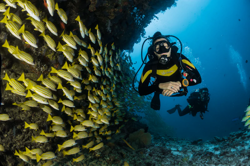
Sector Reconnaissance Overview
Commercial cargo ship scuttled during the 1990s, resting 4 nautical miles offshore from Vice City Beach.
Public Surveillance Intel
Popular deep-sea diving destination. Heightened tiger shark activity reported across lower hull sections.
Tactical Field & Escape Analysis
TACTICAL NOTE: Sub-aqua rebreather gear is recommended to explore the lower cargo holds safely.
Inspect On 2D/3D Radar
Jump directly to SS Leonida Sunken Freighter on the full Leonida satellite map to drop custom pins, measure heist escape distances, and mark this POI as scouted.
Where is SS Leonida Sunken Freighter on the GTA 6 map?
SS Leonida Sunken Freighter (Radar Blip #64) is situated in the Atlantic Deep Basin sector at satellite grid coordinates Y:330 // X:680.
What can you find at SS Leonida Sunken Freighter in GTA 6?
Commercial cargo ship scuttled during the 1990s, resting 4 nautical miles offshore from Vice City Beach. Popular deep-sea diving destination. Heightened tiger shark activity reported across lower hull sections.